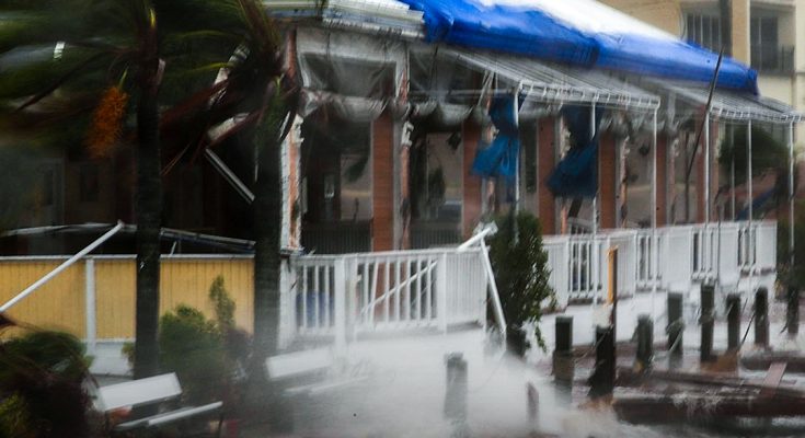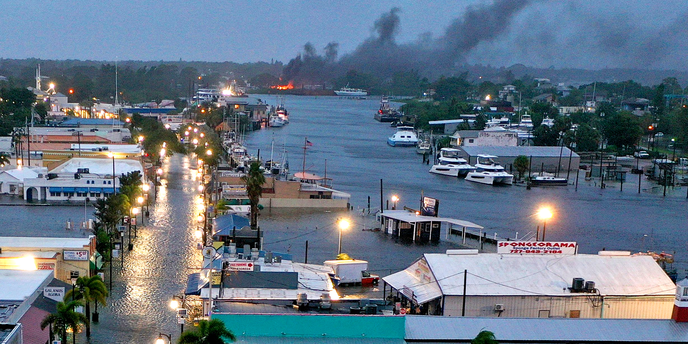
CNN has just reported that a severe storm named Hurricane Helene is expected to make landfall in Florida as the strongest storm the U.S. has seen in over a year. Tropical storm conditions are possible within the next 36 to 48 hours. Already having formed in the northwestern Caribbean Sea, the hurricane is set to strengthen rapidly.
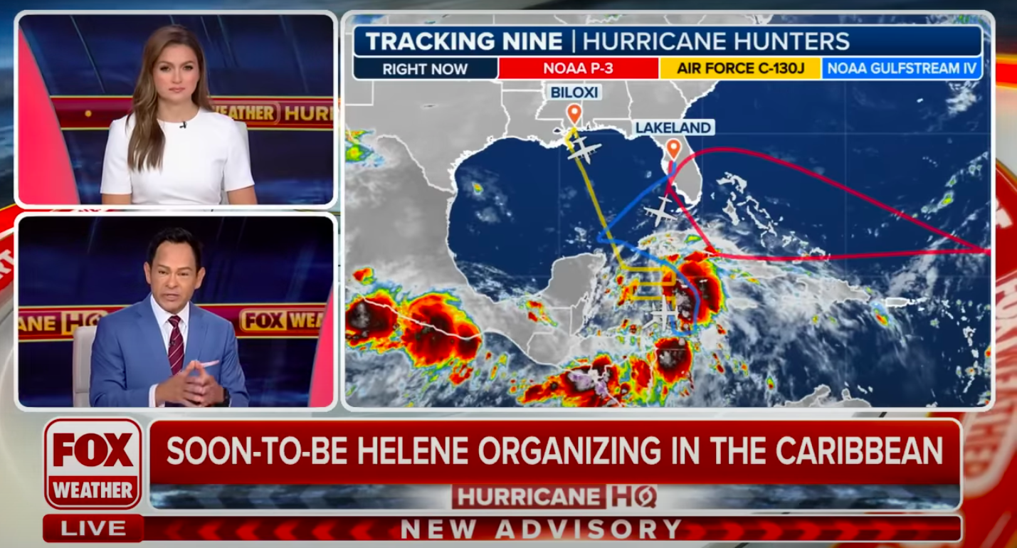
FOX Weather correspondents talking about Hurricane Helene, posted on September 24, 2024 | Source: YouTube/FOX Weather
Providing an example of how fast Hurricane Helene can grow in intensity, CNN noted how it could just take a mere 48 hours for the hurricane to go from a 45 mph tropical storm to a Category 3 major hurricane. Hurricane Helene is increasing in strength over the incredibly warm waters of the Gulf Coast of Mexico.
Given the accelerated timeline, the news outlet has urged civilians in the coastal areas of Florida to prepare for the potentially life-threatening storm surge, flooding rainfall, and damaging winds.
The strong winds and torrential rain expected from Hurricane Helene are capable of causing monumental power outages stretching into the region. There is also the looming threat of tornadoes.
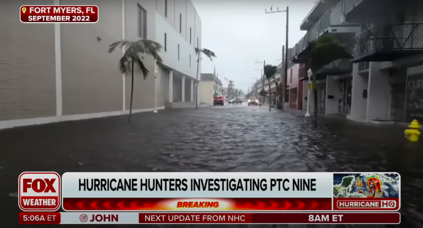
Footage of the damage a previous hurricane that hit Florida had on the state, posted on September 24, 2024 | Source: YouTube/FOX Weather
Evacuations are reportedly likely to happen today (Tuesday, September 24) for residents in Florida’s coastal areas. The Taylor County Sheriff’s Office has also released an announcement on social media to alert residents of the Big Bend region that they are likely to issue a county-wide evacuation order later today as well.
The storm is projected to come ashore in the Big Bend area, which potentially faces the most severe storm surge of up to 15 feet. CNN reports that the greater Tampa area could also experience up to 8 feet of surge should the storm’s large size and intensity continue to grow.
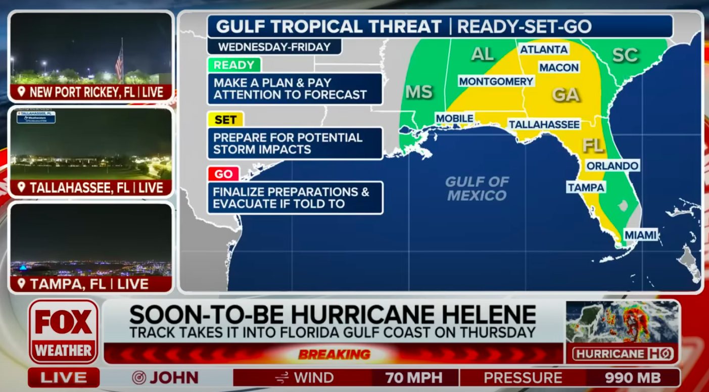
The forecast for Hurricane Helene, posted on September 24, 2024 | Source: YouTube/FOX Weather
As early as Wednesday afternoon, September 25, tropical storm-force wind gusts could begin for the Florida Keys and could reach a large chunk of the Peninsula by Thursday morning, September 26, at the earliest. Hurricane-force wind gusts have the potential to follow closely behind.
Some organizations and government officials have already begun preparations to combat the worst of the storm, like Tampa General Hospital, which began erecting a 10-foot-high flood barrier around the building on Monday.
In an effort to speed up preparations and coordination between local governments and the state, the governor of Florida, Ron DeSantis, has declared an emergency for 41 of Florida’s 67 counties.

Florida Governor Ron DeSantis speaking during a press conference in Sanford, Florida on April 8, 2024 | Source: Getty Images
The National Hurricane Center and Central Pacific Hurricane Center also released a bulletin on their website, which outlines and analyzes the forecast of Hurricane Helene. Like CNN, they highlighted which areas will be affected and explained how.
Residents based in areas outside of Florida are urged to make preparations too and put a hurricane plan in place, as the storm is expected to hit other parts of the Southeast as well.
According to the Weather Prediction Center, flooding rain may also impact the states of Georgia, Alabama, and parts of the Carolinas on Thursday, September 26. Currently, the risk level sits at 3 on a scale that goes up to 4.
Some parts of Tennessee, Virginia, and the Carolinas are also expected to experience rainfall totals between 4 and 8 inches.
